

UPDATED PRESCRIBED BURN SCHEDULE for week of 09/20

Updated: Sep 23
Modified 09/23/26 @ 9 AM
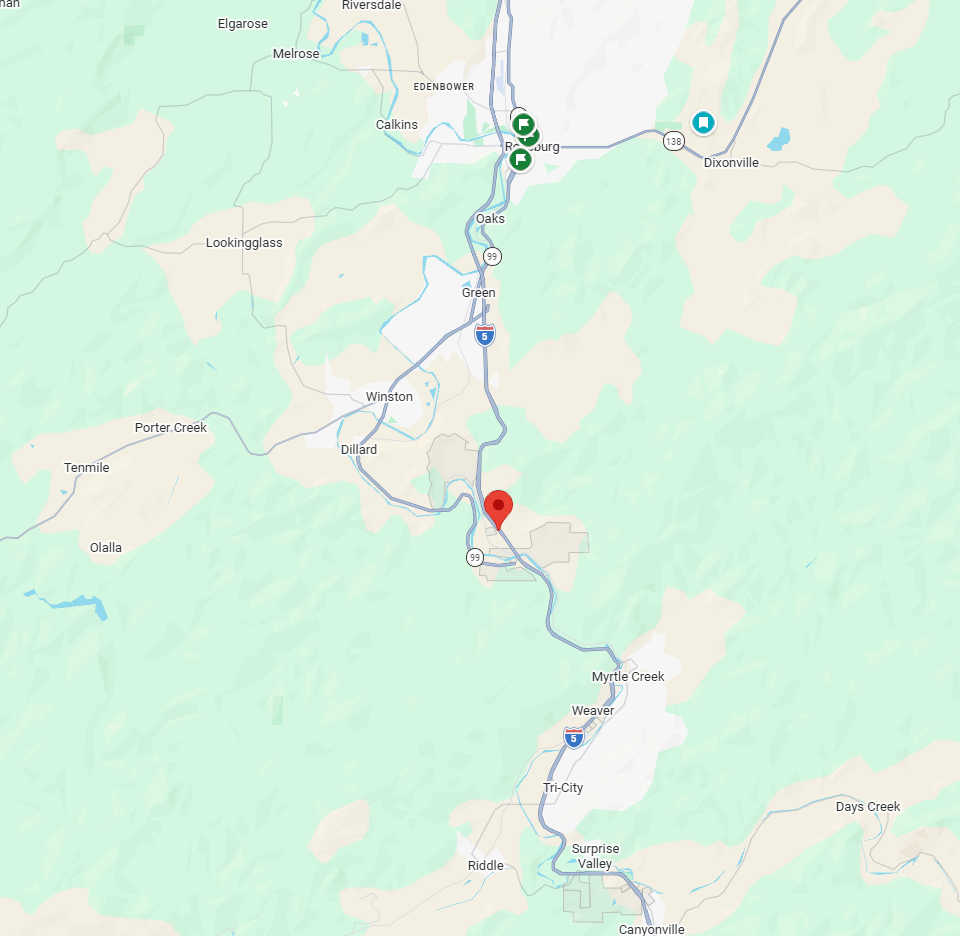
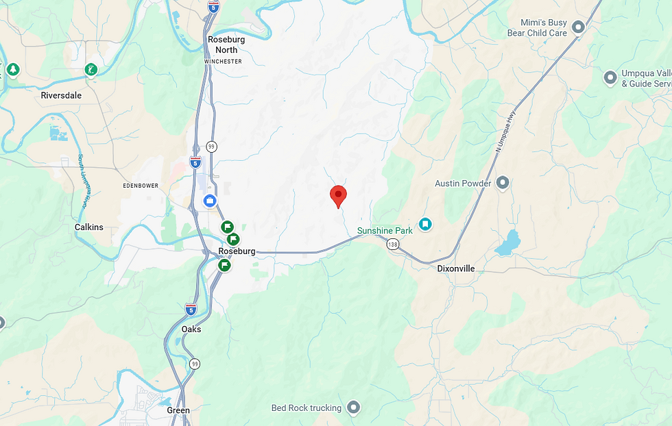
Several prescribed burns are currently scheduled within the Douglas Forest Protective Association (DFPA) protection area. These burns are tentative and may be rescheduled or adjusted due to weather, smoke conditions, or other operational considerations. (maps included are for the newly permitted locations)
Sunday, September 20
12:00 PM
1000 block of South Deer Creek
Visible from: I-5, Dixonville, Glide, Hwy 138/Diamond Blvd, Porter Creek, Green, Round Prairie and Roseburg
1:00 PM
2800 block of Bilger Creek Road, Myrtle Creek
Visible from: I-5, Myrtle Creek and Round Prairie

2:00 PM
2000 block of Dairy Loop Lane, Roseburg
Visible from: Lookingglass, Roseburg, Porter Creek, Tenmile, Melrose

Monday, September 21
1:00 PM
1000 block of Michael Ranch Lane, Days Creek
Visible from: I-5, Days Creek, Milo, Canyonville, Riddle, Tri City and Myrtle Creek

Tuesday, September 22
10:00 AM
4700 block of Dole Road, Myrtle Creek
Visible from: I-5, Myrtle Creek, Weaver, Tri City, Winton, Dillard, Green and Round Prairie

12:30 PM
200 block of Clarks Branch Road, Myrtle Creek
Visible from I5, Myrtle Creek, Round Prairie, Dillard, Winston
Wednesday, September 23
12:30 PM
1000 block of Kester Road, Roseburg
Visible from: 138 / Diamond Blvd, North Bank Road, Roseburg, Dixonville, Wilbur
1 PM- 100 block of Reston Road, Tenmile
Smoke may be visible from Highway 42, Tenmile, Porter Creek, Camas Valley, Olalla, Reston, Brockway

2 PM - 17000 block of North Bank Road
Smoke may be visible from Highway 138, North Bank Road, Glide, Idleyld Park, Wilbur, NonPareil, Fair Oaks, Sutherlin, Peel, Dixonville

---
Why Prescribed Burning?
Prescribed pasture burns are conducted by local landowners to:
• Improve grazing lands for livestock
• Enhance wildlife habitat
• Reduce wildfire hazards
• Control noxious weeds, brush, insects and plant diseases
Historically, approximately 10,000 acres of prescribed burning are conducted annually throughout Douglas County** to improve pasturelands and maintain healthy landscapes.
Prescribed burning can also reduce the buildup of grasses, brush and other combustible vegetation, helping reduce available fuels when wildfires occur.
What Should the Public Expect?
Residents may see smoke in and around the listed areas during burning operations. These burns are carefully planned and conducted when weather and atmospheric conditions are favorable, with appropriate personnel and fire suppression equipment in place.
Burns are scheduled when conditions are expected to help minimize smoke impacts on nearby communities while maintaining public and firefighter safety.
A Note About Permitting
These are prescribed burns conducted by private landowners under permits issued by DFPA. DFPA is the permitting agency for prescribed burn permits on lands under DFPA's protection; DFPA is not conducting these burns ourselves.
Other fire agencies may issue prescribed burn permits within their respective jurisdictions. The information provided in this schedule is limited to prescribed burn permits issued by DFPA and does not represent all prescribed burning that may occur throughout Douglas County.
This schedule is tentative and may change based on weather, smoke conditions and other operational considerations. Additional locations may be added as permits are finalized.
Please continue to follow DFPA for updates to the prescribed burn schedule and other fire information.
See less


Comments